federico winer captures hypnotizing aerial views of architecture + urban landscapes
all images courtesy of federico winer
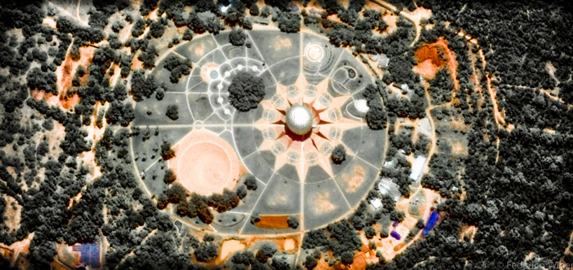
landmark architecture and urban landscaping becomes shapes and geometries in buenos aires-based photographer federico winer‘s ‘ultradistancia’ series. winer transports viewers across all corners of the globe, allowing them to vicariously travel on google earth ‘trips’ from airports to highways and famous cities. aerial photography sourced from satellites sees stations, neighborhoods, routes, and houses turn into kaleidoscopic compositions. it is from this vantage point that an observer can truly understand the winding pathways of an airport terminal, the twisting roadways we drive on everyday and the complex layouts of historic cities.
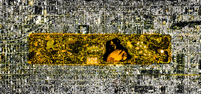
an aerial view of central park in new york is enhanced by the color green
a landscape format allows a horizontal reading of the image, enhanced through the digital interplay of color and luminosity. the series distorts our perception of the earth surface, where common landmarks resembles paintings and topography is visualized through a spectrum of color. winer considers the notions of movement and travel as a sort of paradox — ‘there are many ways of traveling — with the body, with the mind, moving physically or not’ he says. ‘the long google earth trips I embarked on were directed to track shapes and forms, starting from simple curiosity and cultural references, then meticulously hovering over geographies until something attracted my attention.’
the aerial vantage point shows the complexities of our urban surroundings
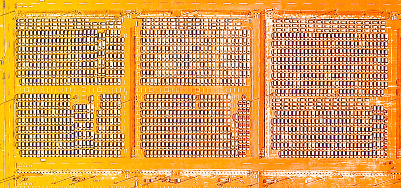
a parking lot becomes a pattern
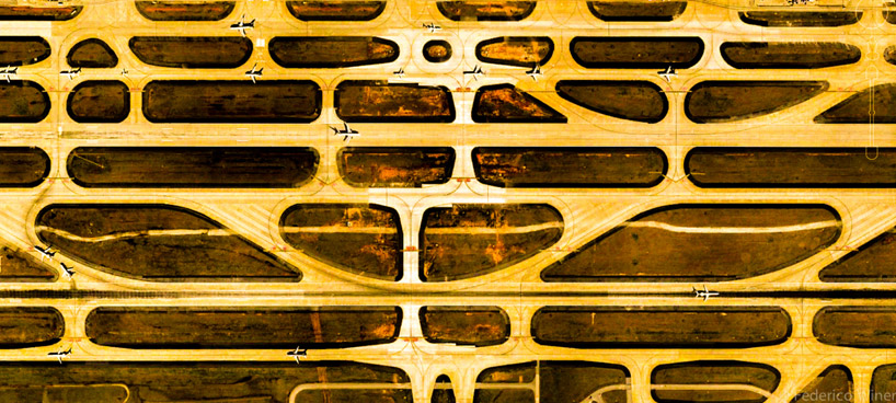
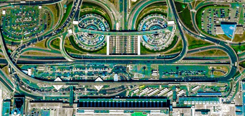
winding airport routes are visualized from above
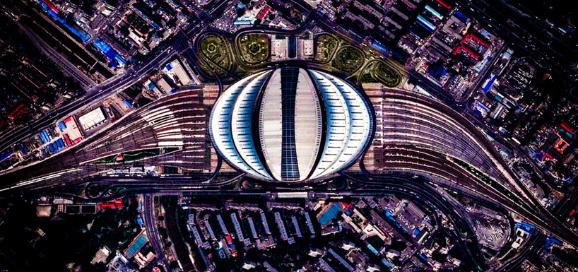
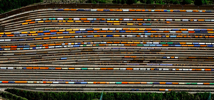
train station architecture, from above
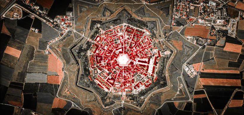
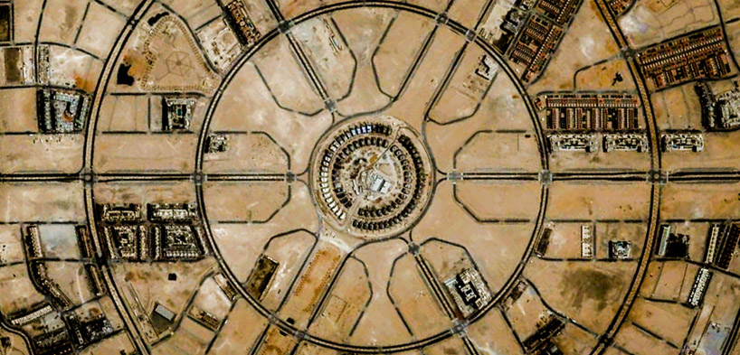
a town is described by its circular urban design
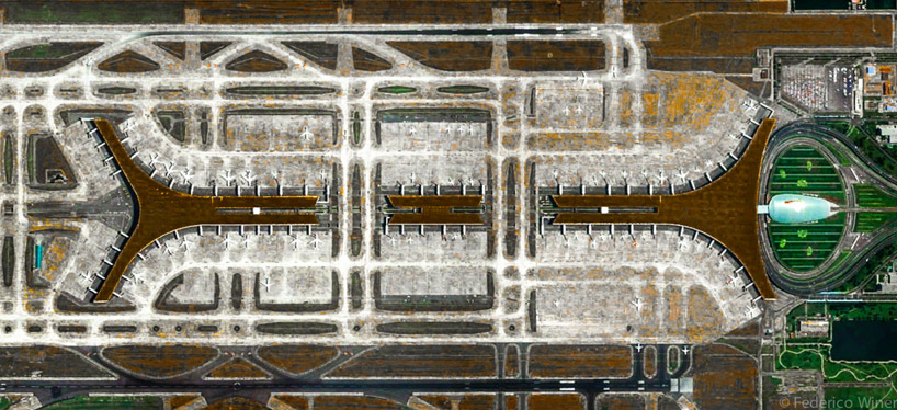
airplanes parked at their terminal
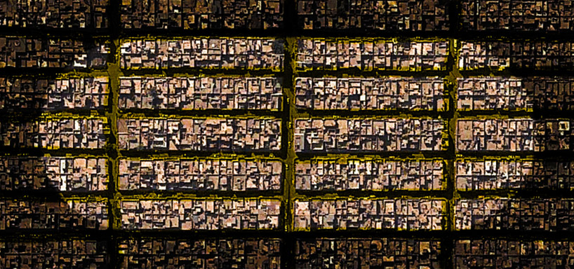
a city street is laid out as a grid
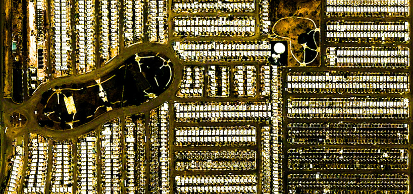
suburbia: same-sized houses are stacked row-upon-row
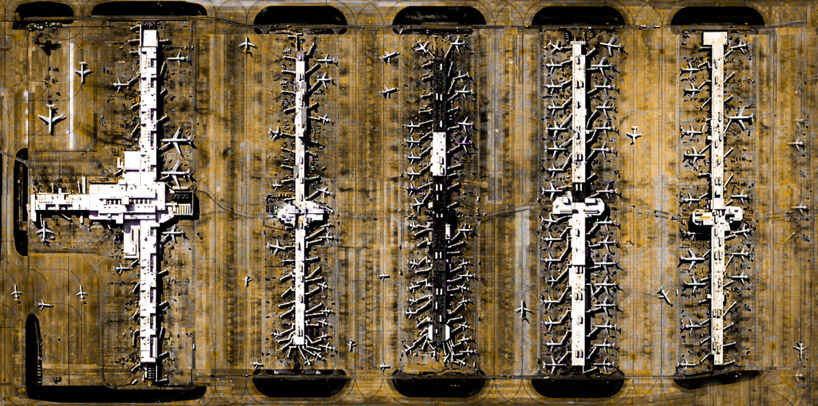
rows of planes like up for operation
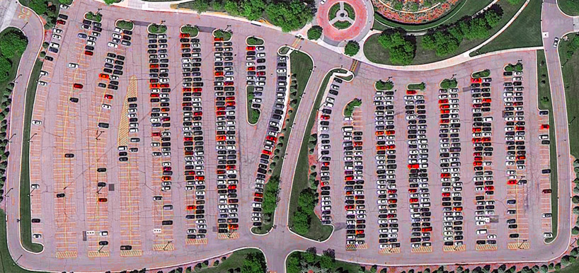
a nearly-full parking lot looks like a pair of lungs
PRODUCT LIBRARY
 Apr 19, 2024
 Apr 17, 2024
 Apr 09, 2024
 Mar 27, 2024