modern 1800s hand drawn grand wall map of london royal albert hall
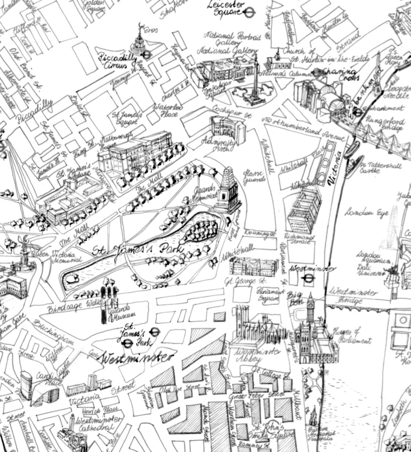
using drawing qualities and influences from city maps from british cartographers of the early 1800s, designers taige zhang and anna butler developed a grand map of london using various existing up-to-date geographic data sources including those from open street maps. after seeking advice from experts across england and poland including antique map dealers, professors, other modern-day cartographers, paper experts, and shoemakers – a huge london canvas wall map was conceived, spanning almost 2 meters in an authentic 1800’s british styled birds-eye view illustration.
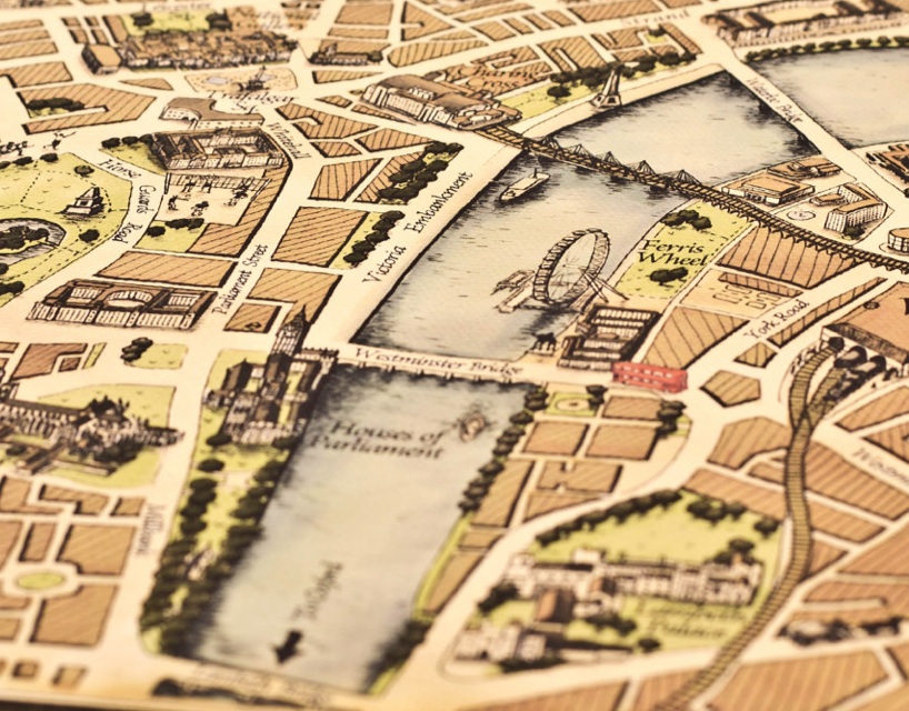 waterloo
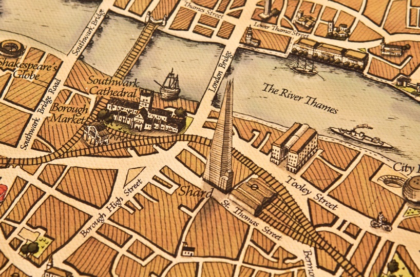 london shard
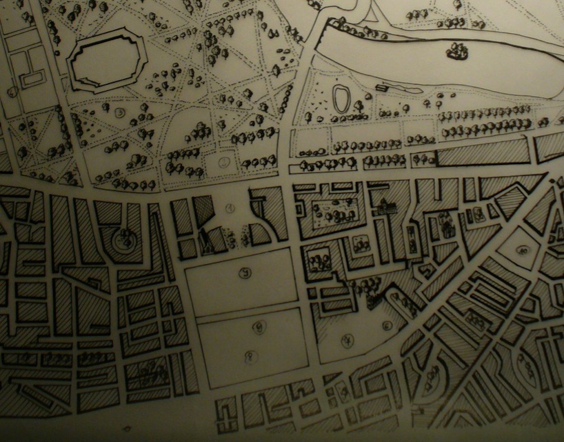
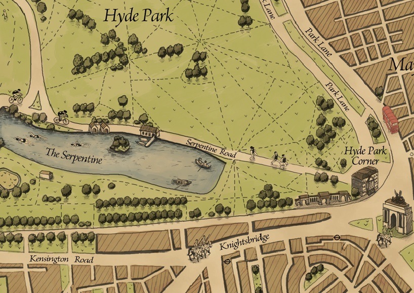 hyde park artwork
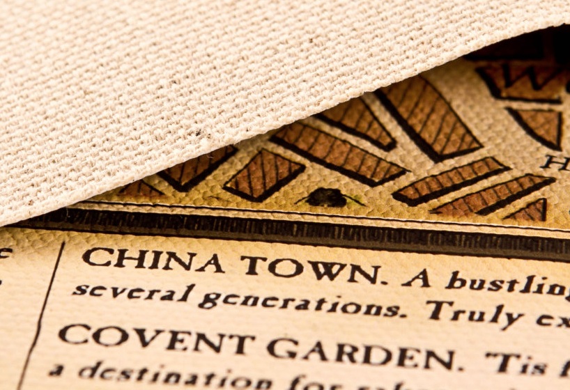 london guide detail
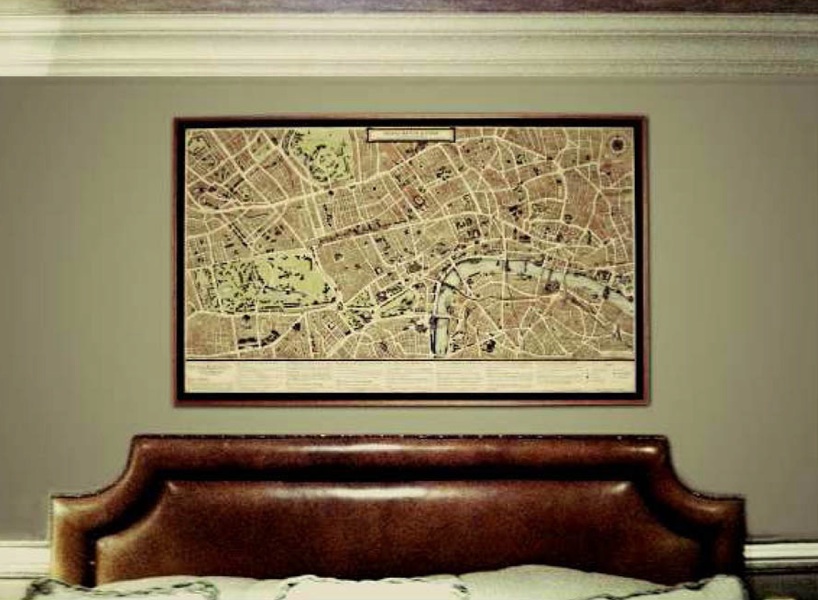 grand map in hotel
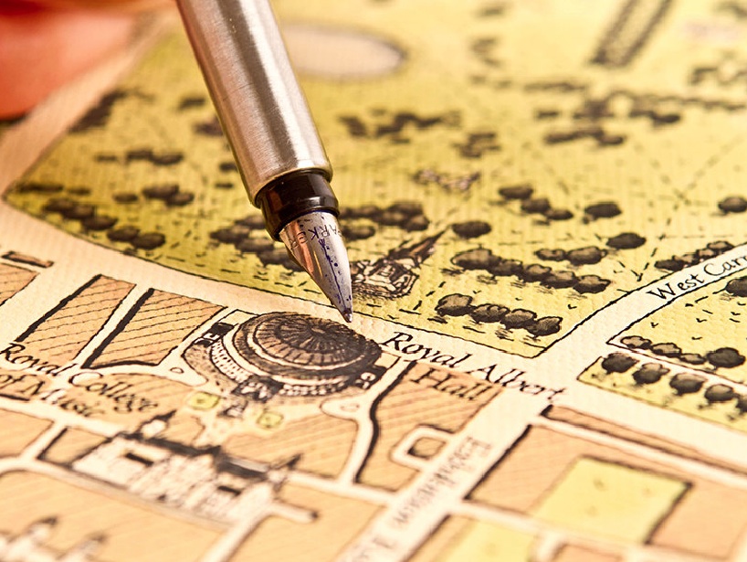
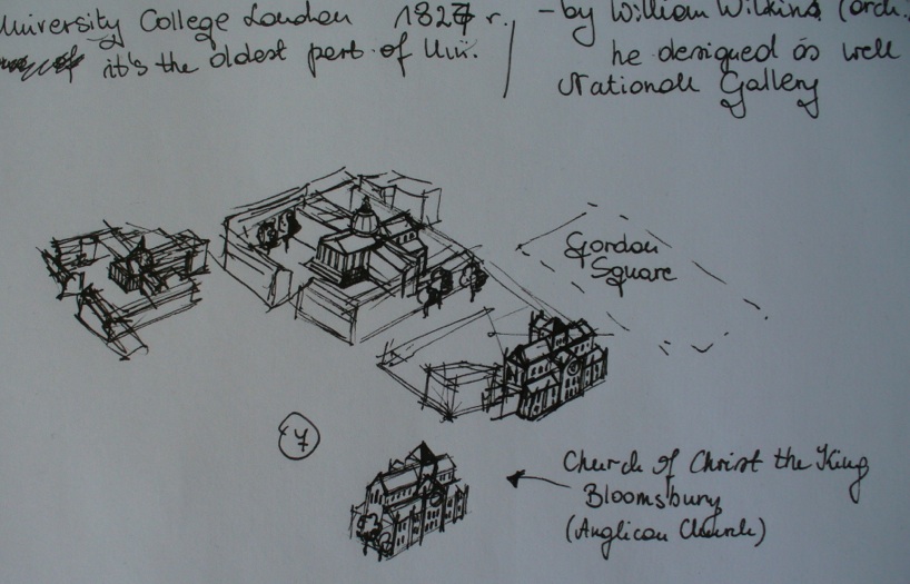
 sketching the map
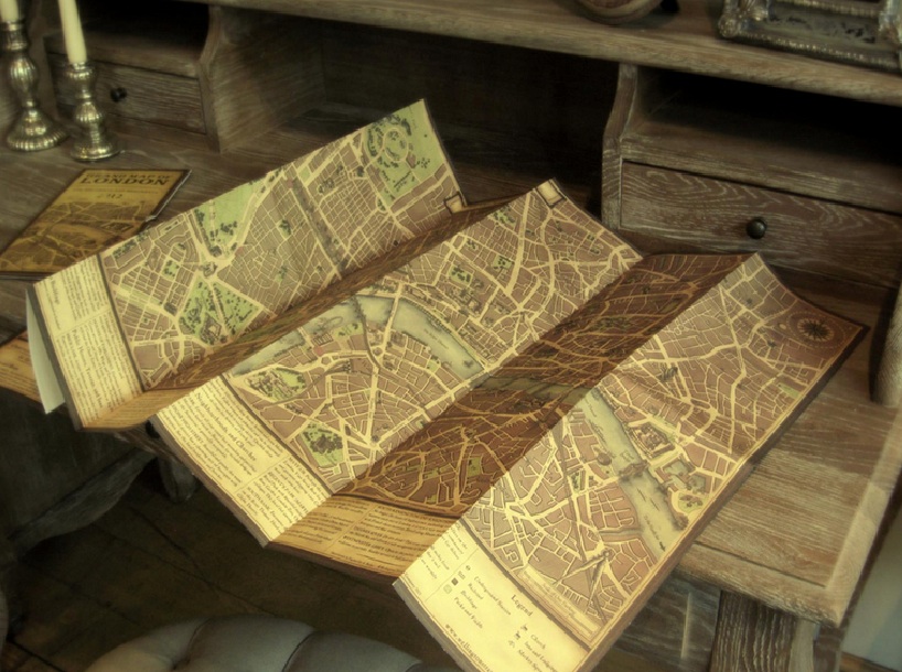 traveller’s london map
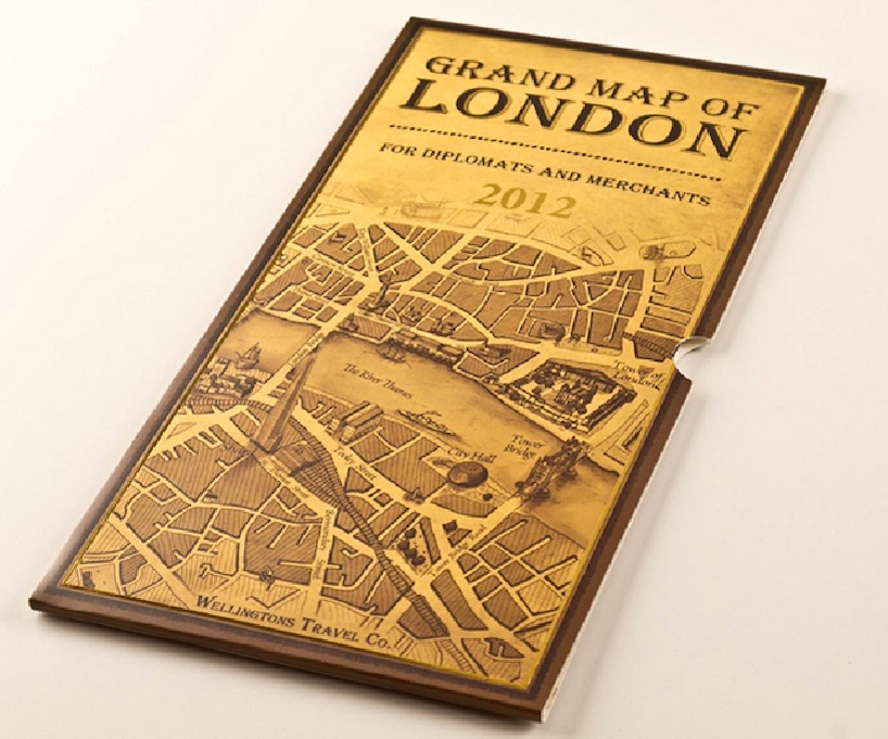 package design
 early draft
 early draft
designboom has received this project from our ‘DIY submissions‘ feature, where we welcome our readers to submit their own work for publication. see more project submissions from our readers here.
PRODUCT LIBRARY
 Apr 27, 2024
 Apr 27, 2024
 Apr 22, 2024
 Apr 19, 2024