KEEP UP WITH OUR DAILY AND WEEKLY NEWSLETTERS
PRODUCT LIBRARY
designboom is presenting the sound machines of love hultén at sónar festival in barcelona this june!
connections: 74
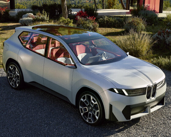
BMW releases the upgraded vision neue klasse X, with a series of new technologies and materials especially tailored for the upcoming electric smart car.
following the unveiling at frieze LA 2024, designboom took a closer look at how the color-changing BMW i5 flow NOSTOKANA was created.
connections: +630
each unit draws inspiration from emergence, featuring a hexahedron-based structure that facilitates integration into larger systems.
connections: 96
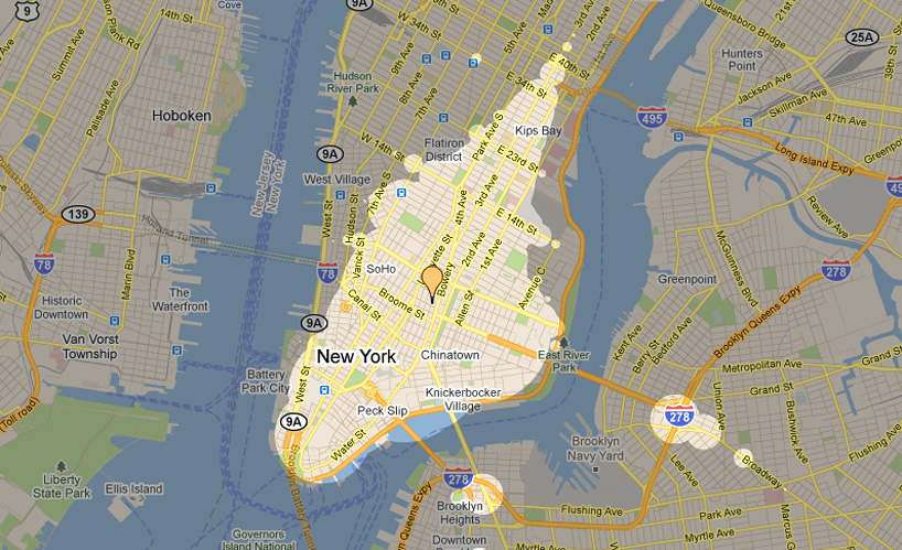
 thirty-five US, six canadian, and twelve international cities are currently mappable via the web interface
 google maps searches can be overlain on top of the results, as in this example, which visualizes in red google’s results for coffeeshops accessible within 15-minutes of the guggenheim museum
 night mode visualization of the search results for coffee for a 15-minute timeframe (left) and 30-minute timeframe (right)
 settings include whether the user has access to a bike, and the day and time, as well as the maximum walk length to public transit stations