the ‘pastmapper’ project uses a google maps-like interface to present historical data
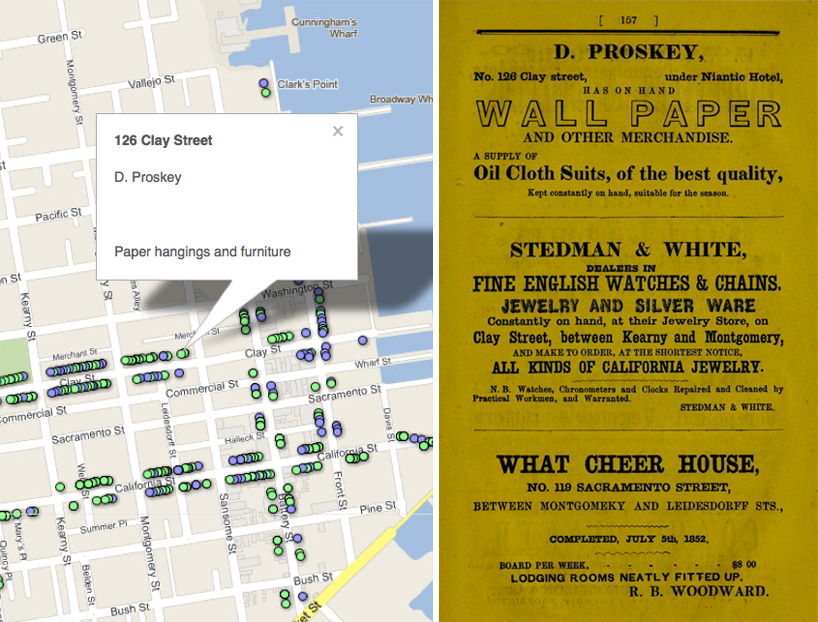
the ‘pastmapper‘ project by brad thompson uses the google maps interface to present historical data, including city geography, street names, and local business information. the just-launched website currently features exclusively the city of san francisco, USA, as it was in 1853 and 2011. for the map, thompson used an 1853 US coast survey map from the david rumsey historical map collection, in conjunction with an 1852 city directory published by A.W. morgan & company for the information about businesses and residences.
clicking between the past and present map views, all of the information about the old establishments remains overlain on the contemporary city structure, offering a way to explore what certain buildings, corners, or streets used to be like.
update (7/17/2012): ‘pastmapper’ has just been released as an app for iOS (here), a companion to the growing project web database. users can browse the past history of locations, ‘find a [historical] place’, and check-in or curate their own collections of historical places. at its launch the app includes data for every san francisco bar and restaurant from 1966 through the present, but locations for new york, oakland, and seattle– and a broader range of data– is constantly being added.
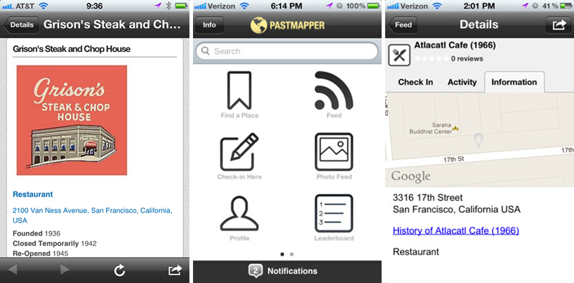 update (7/17/2012): three screenshots of the ‘pastmapper’ app
 the pastmapper interface for san francisco, 1853
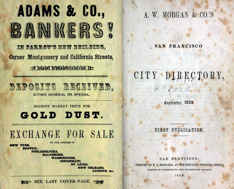 the 1852 san francisco city directory by A.W. morgan & company
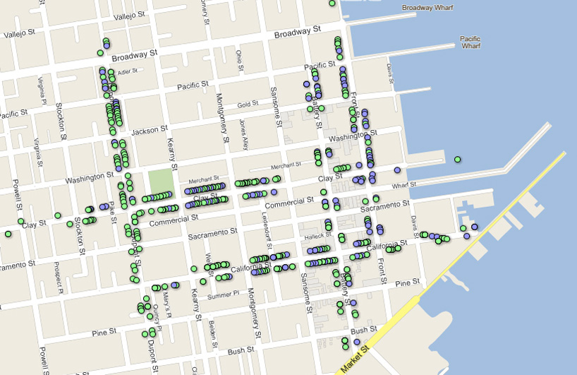
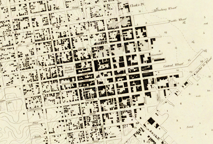 1853 map of san francisco, as recorded on a US coast survey map
via engadget
MAP ART AND DESIGN (56)
 Jul 23, 2023
 Jul 29, 2022
 Nov 06, 2021
 Jun 13, 2021
 May 30, 2021
PRODUCT LIBRARY
 Mar 21, 2024
 Mar 13, 2024
 Feb 24, 2024
 Feb 07, 2024