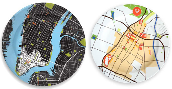
L: manhattan, R: los angeles
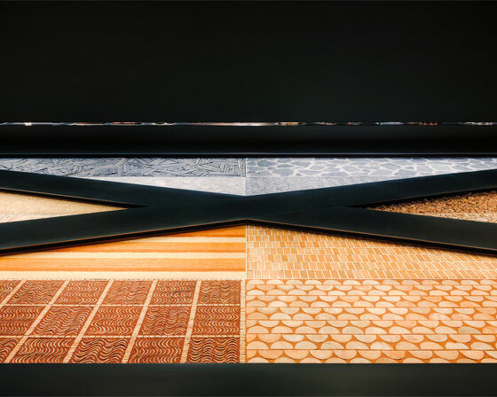
since the arrival of google maps and google earth we’ve seen a rise in the number of designs that reference satellite images of the earth’s surface. one of the more recent projects to do so is the ‘city plates collection’ by rios clementi hale studios, which features 16 major cities from around the world. each metropolis is represented by a 30 cm (12 inch) diameter porcelain plate.
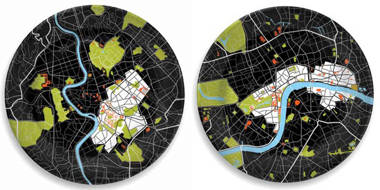 L: rome, R: london
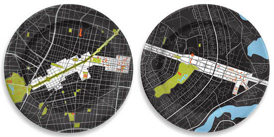
L: mexico city, R: brasilia
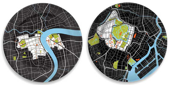 L: shanghai, R: tokyo
more
city plates collection: http://www.notneutral.com rios clementi hale studios: http://www.rchstudios.com
related / more map designs
‘did we miss the exit?’ tiles by giffin’termeer ‘london overground’ plates by michael warren
KEEP UP WITH OUR DAILY AND WEEKLY NEWSLETTERS
PRODUCT LIBRARY
 Apr 17, 2024
a powerful symbol of the house’s cultural heritage, the jockey silk with colorful geometric motifs is an inspiration for leather goods and textiles.
connections: +670
 Apr 15, 2024
watch our livestream talk with BMW Design at 19:15 CEST on monday 15 april, featuring alice rawsthorn and holger hampf in conversation.
connections: +320
 Apr 15, 2024
the solo show features five collections, each inspired by a natural and often overlooked occurence, like pond dipping and cloud formations.
 Apr 12, 2024
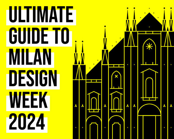
discover our guide to milan design week 2024, the week in the calendar where the design world converges on the italian city.
connections: 50