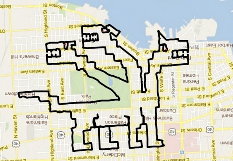
GPS drawing on bike by michael wallace
the artist first plans his path, then uses a global positioning system device to track and record his travels in order to create giant geoglyphic drawings.
prefer designboom on google[FEATURED]
‘hydra-bus!’, 2012 16.02 miles in 2 hours, 43 minutes, 49 seconds all images © michael wallace
baltimore, maryland, USA-based cyclist and artist michael wallace, has developed an portfolio comprised entirely of bike-traced city-scale sketches. the artist says of his work, ‘GPX riding is my general term for using a GPS device to track and record my location while riding my bicycle. in short, I use GPS technology to record where I go in a planned effort to create massive images.‘ his ‘virtual geographic adventures’, in their completion, range anywhere from near 17 miles to as little as 5 wallace moves about the city in a strategic path in order to develop resemblances of various symbols, events, and characters.
 ‘pagoda!’, 2012 11.43 miles in 1 hour, 52 minutes, 53 seconds
 ‘super conductor’, 2012 12.32 miles in1 hour, 40 minutes, 51 seconds
 ‘hurricane irene’, 2012 10.36 miles in 1 hour, 39 minutes, 30 seconds
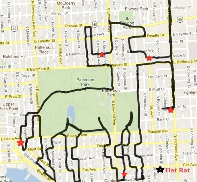 ‘GPX mythwallogy’, 2012 9.72 miles in 1 hour, 56 minutes, 49 seconds
 ‘titanic’, 2012 7.58 miles in 1 hour, 37 minutes, 38 seconds
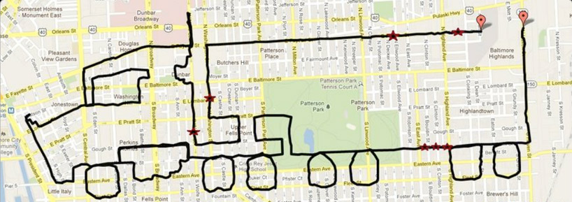 ‘big rig!’, 2012 13.22 miles in 2 hours, 18 minutes, 13 seconds
 ‘los dias de los muertos’, 2012 8.99 miles in 1 hour, 42 minutes, 59 seconds
 ‘grapes’, 2012 7.10 miles in 1 hour, 21 minutes, 37 seconds
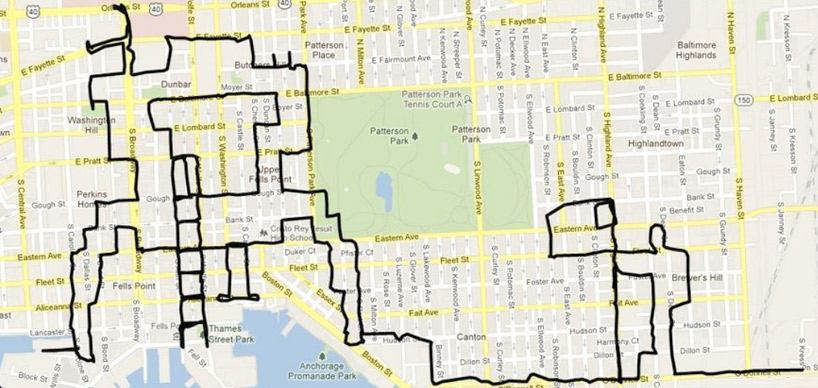 ‘lunar lander’, 2012 13.58 miles in 2 hours, 22 minutes, 17 seconds
 ‘terminator’, 2012 6.16 miles in 54 minutes, 45 seconds
shop
your own online design shop — no sales commission collected