google street view goes underwater
the new underwater google maps development provides panoramic virtual scuba tours through six reefs around the world.
prefer designboom on google[FEATURED]
google maps underwater street view
google has introduced an underwater feature to their street view maps. the new development provides panoramic virtual scuba tours through 6 reefs, heron, lady elliot and wilson islands at the great barrier reef, molokini crater and hanauma bay in hawaii and the apo islands in the philippines.
by collaborating with the catlin seaview survey, a submersible underwater camera equipped with three high-resolution wide-angle lenses captured 24 megapixel photographs from each lens every four seconds, offering 360 degree views of each reef.
google maps underwater street view video
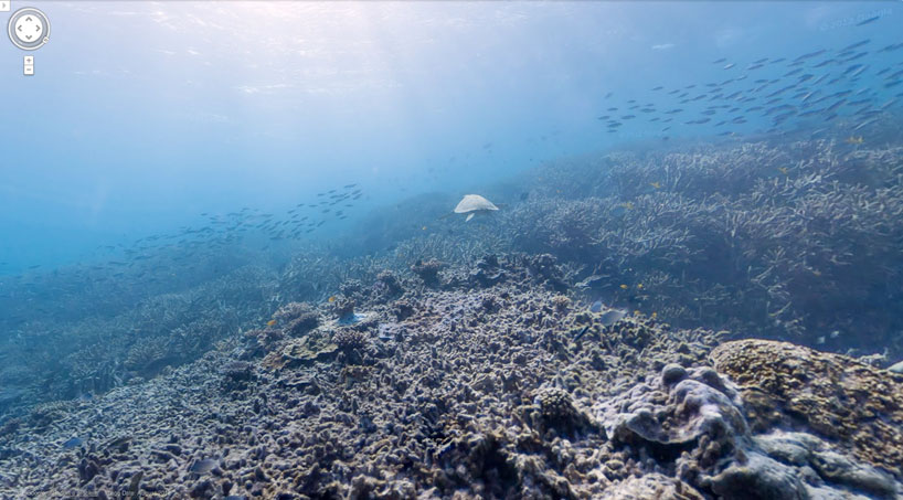 view of the heron island reef
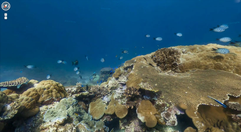 low-light image capture detail
via boing boing
shop
your own online design shop — no sales commission collected