geologist cuts 3D maps in wood using satellite data
the wooden 3D maps are made using accurate satellite or LIDAR digital terrain data that is sent to a CNC milling machine to cut 3D it in wood.
geologist cuts 3D maps in wood using satellite data
(above) 3D wooden map of bay area
all images courtesy of wooden 3D maps
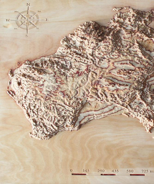
a geologist took advantage of his digital mapping knowledge and started transferring digital satellite data into reliefs in wood using a CNC router. the essence and motivation behind the project is to give maps another dimension. to do so, the digital satellite terrain data was converted into 3D models, adjusting scales to give an impressive look on wood. the dark layers of glue on the plywood play the role of the isohypse lines as on topological maps. the maps result in an educative object for blind people but can be used by anyone.
you can purchase a 3D map of any place on the planet with the finest details in any scale here.
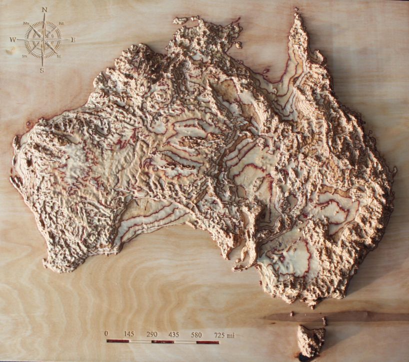
3D map of australia
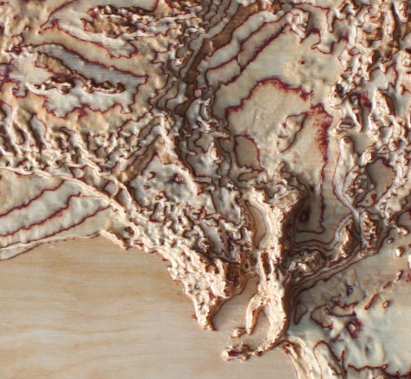
close up of australia map
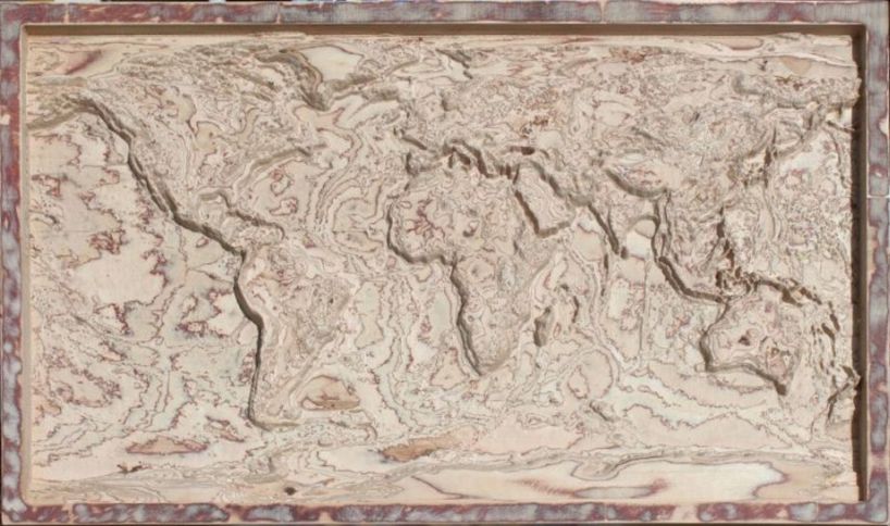
world terrain 3D map
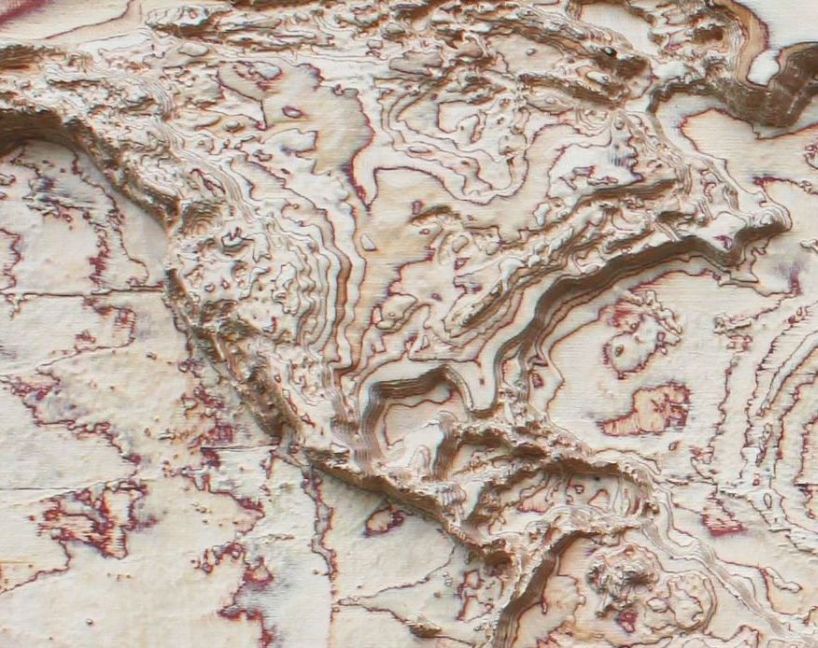
noth america map
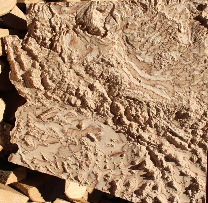
3D map of arizona
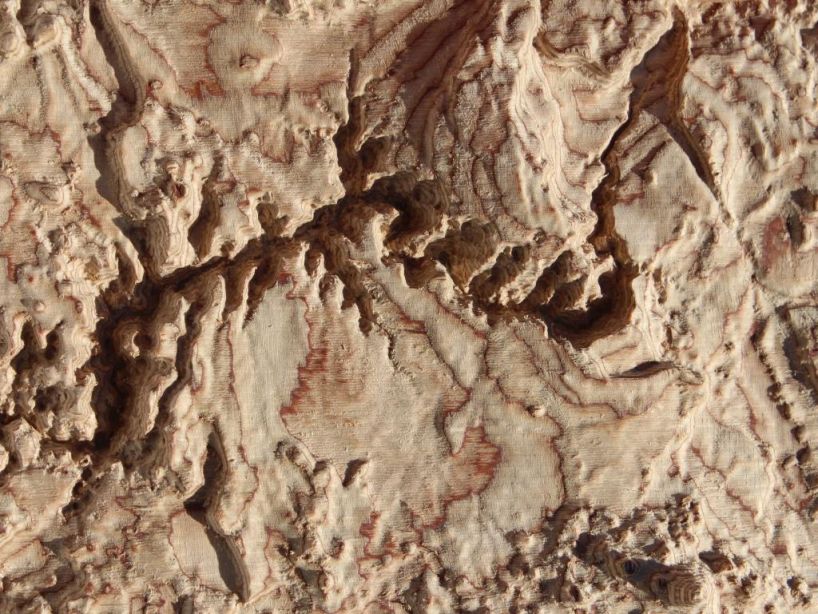
grand canyon on arizona map
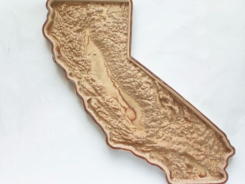
3D map of california cut in wood
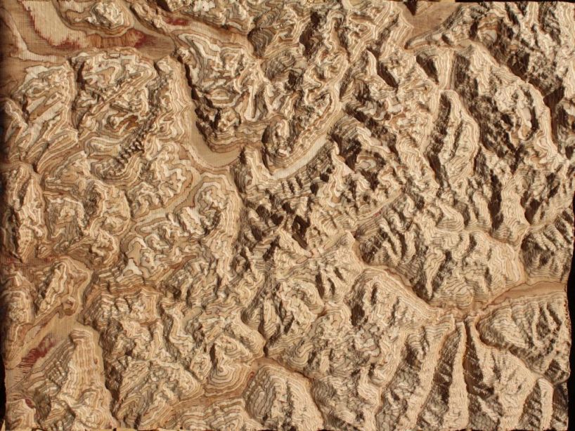
mont blanc area 3D map
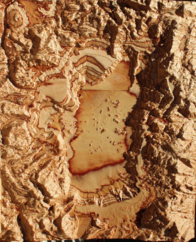
map of lake tahoe
designboom has received this project from our ‘DIY submissions‘ feature, where we welcome our readers to submit their own work for publication. see more project submissions from our readers here.
shop
your own online design shop — no sales commission collected