dietmar feichtinger architectes elevates jetty to mont saint-michel
the 760 meter long elevated walkway has recently opened to pedestrians, while allowing for improved water flow around the island village.
prefer designboom on google[FEATURED]
dietmar feichtinger architectes elevates jetty to mont saint-michel
photo by mathias neveling
all images courtesy of dietmar feichtinger architectes
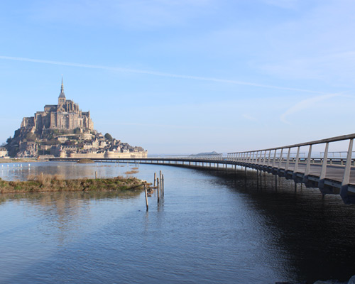
a jetty from the normandy coastline to mont saint-michel, designed by dietmar feichtinger architectes, has recently opened for pedestrian access. the project replaces an existing causeway producing undesirable build up of sediment, due to limited ability for water flow. the elevation of the bridge way on stilts alleviates this issue, creating a continuous current around the island. the path offers a promenade for visitors, with expansive views to the impressive medieval mountain village and estuary context.
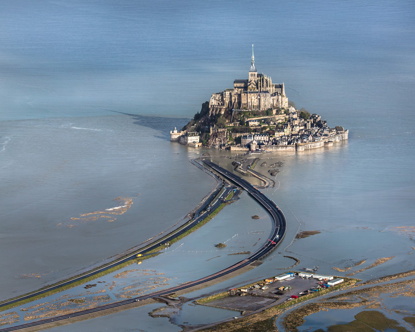
the elevated jetty will replace an existing causeway
photo by michael zimmermann
rather than taking a direct path, the 760-meter long jetty takes a curving geometry, to create a drawn out procession providing a variety of views of mont saint-michel for the pedestrian. beyond the experiential aspects for its winding form, the layout also responds closely to the landscape and water movements, in order to integrate seamlessly with the context. a road weaves alongside the wood deck walkway, with the two separated by a continuous bench.
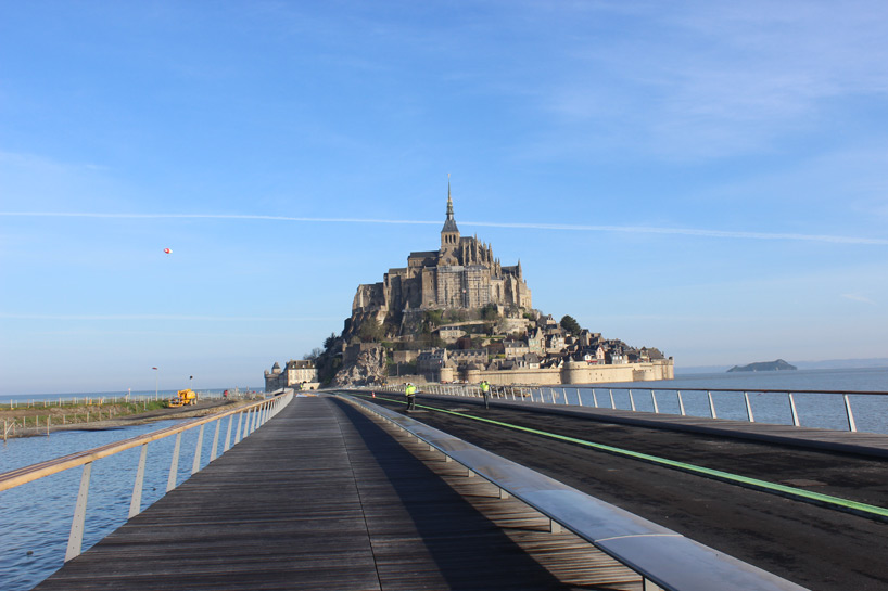
pedestrians enjoy expansive views of the estuary context while walking to the island village
photo by mathias neveling
the structural configuration of the bridge eliminates diagonal bracing, allowing for more openness at the ocean level. once the roadway is opened up on the elevated jetty, the existing and attached causeway will be deconstructed, making mont saint-michel a true island once again.
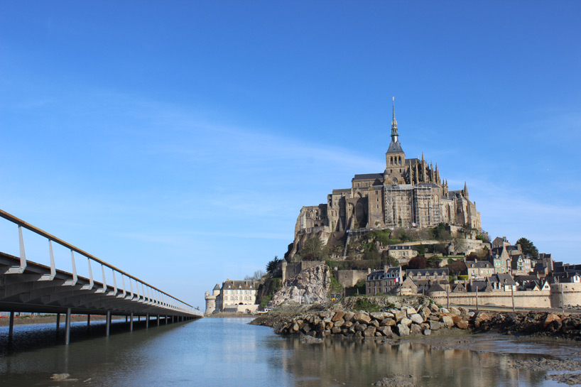
the scheme eliminates the need for diagonal braces
photo by mathias neveling
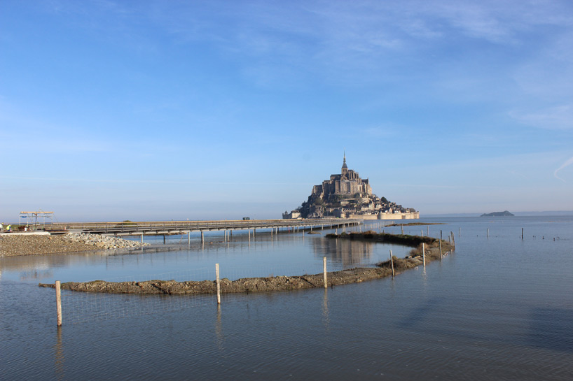
the elevated nature of the jetty allows for improved water flow through the estuary
photo by mathias neveling
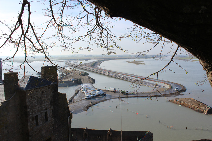
the bridge’s form curves to connect the mainland and mont saint-michel in an indirect path
photo by mathias neveling
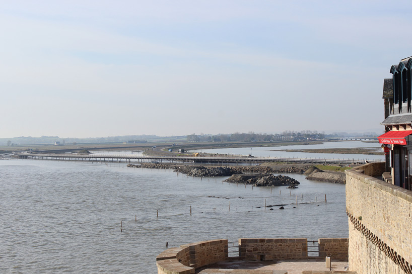
the medieval island village is a prominent tourist destination
photo by mathias neveling
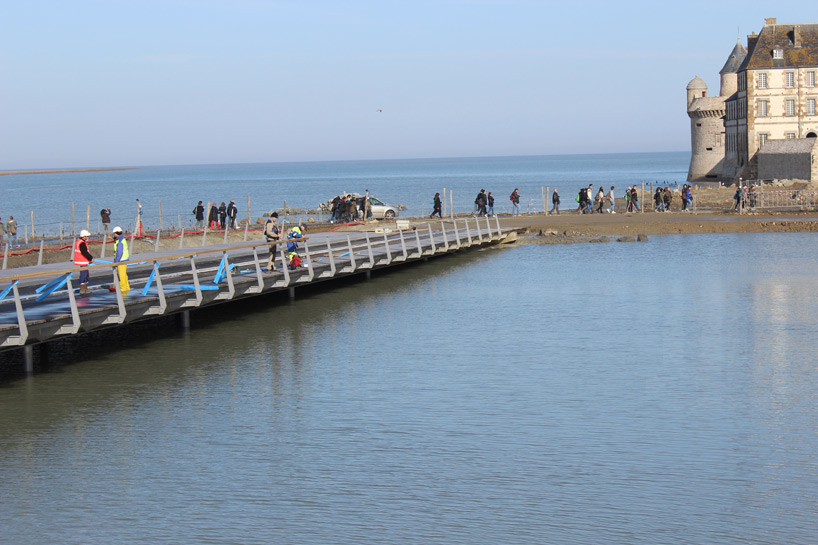
photo by mathias neveling
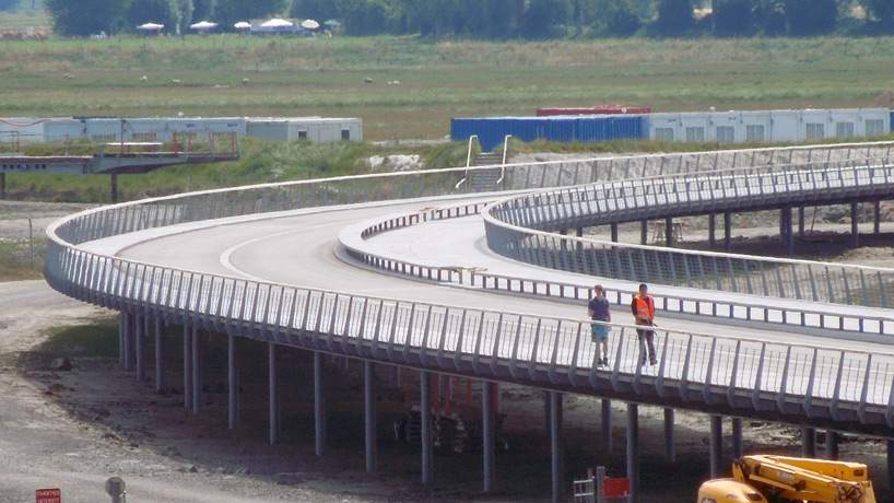
a roadway weaves alongside the wood walkway
photo by barbara feichtinger-felber
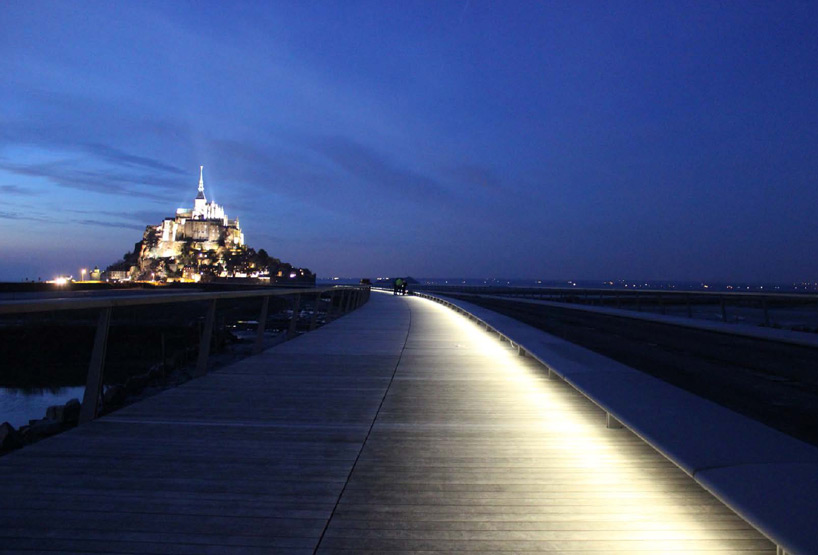
lights integrated with the continuous bench illuminate the walkway
photo by mathias neveling
project info:
architect: dietmar feichtinger architectes
consultants: schlaich bergermann und partner, stuttgart
client: syndicat mixte baie du mont saint-michel
length of causeway: 1,085 m
length of gateway: 756 m
width: 12.5 – 16.5 m
width of the roadway: 6.5 – 8.5 m
earthwork volume for causeway: 45 cbm
dates: 2001 (competition), 2002 (entry selected), 2003 (early studies), 2011-2014 (construction)
shop
your own online design shop — no sales commission collected