digital shadows on vintage maps trick our eyes into learning the landscape
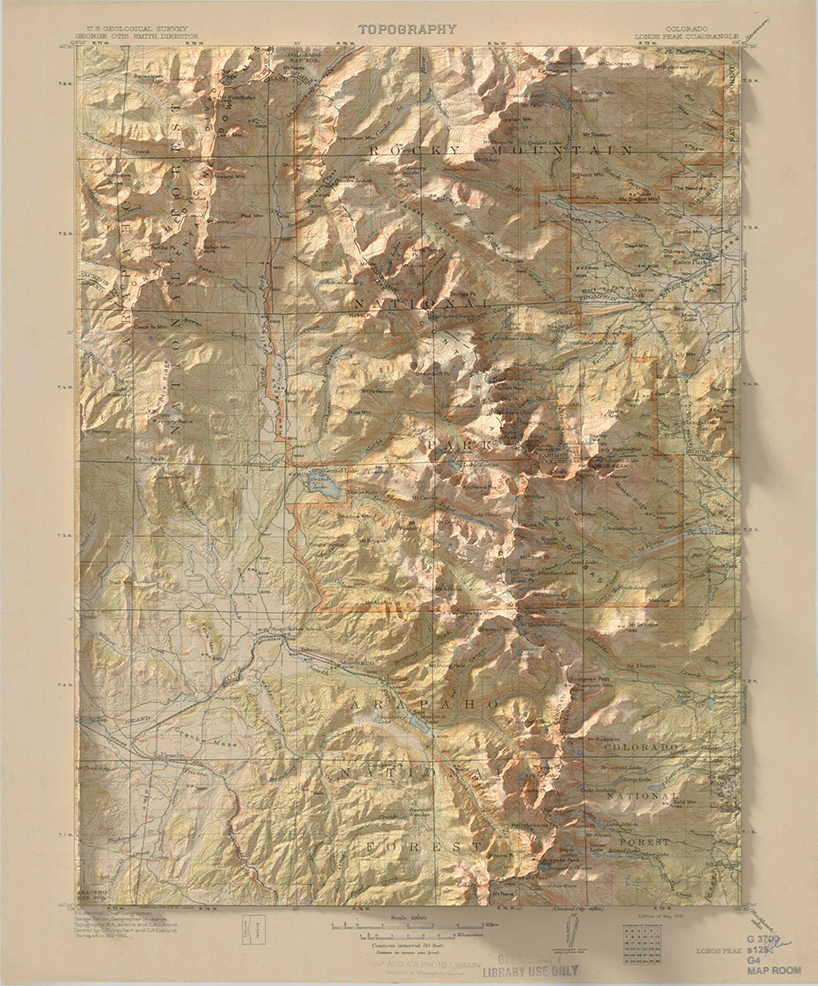
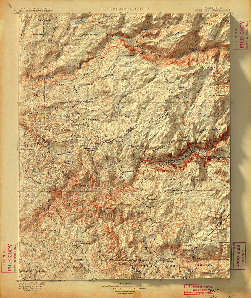
14 vintage maps with 3D elevation upgrades by scott reinhard.
prefer designboom on google[FEATURED]
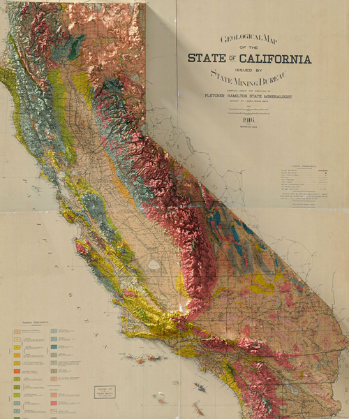
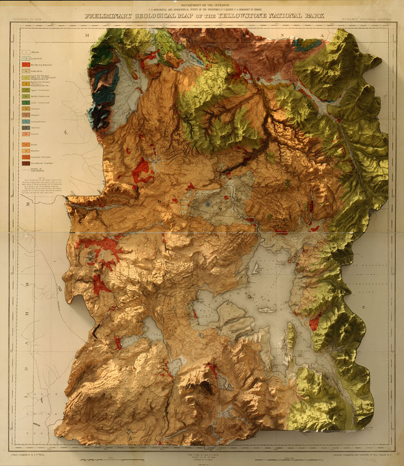
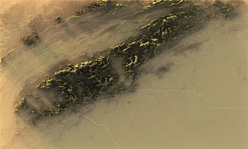
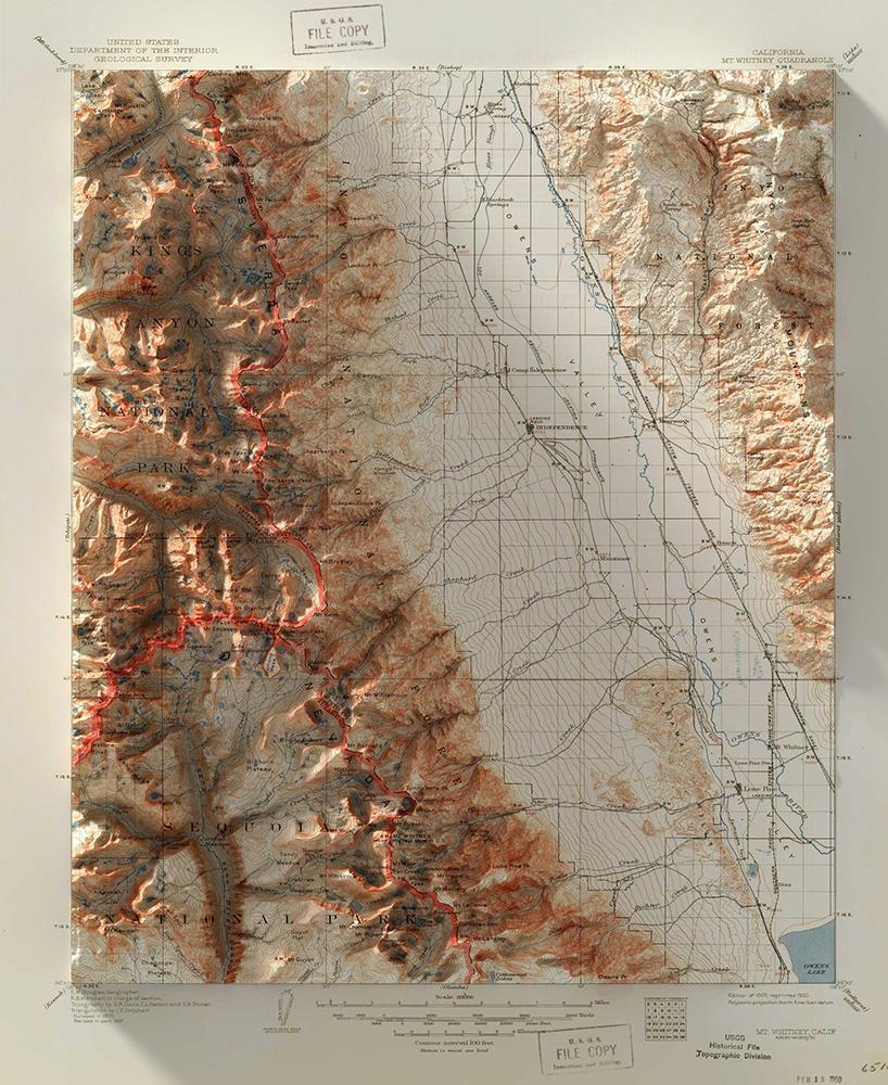
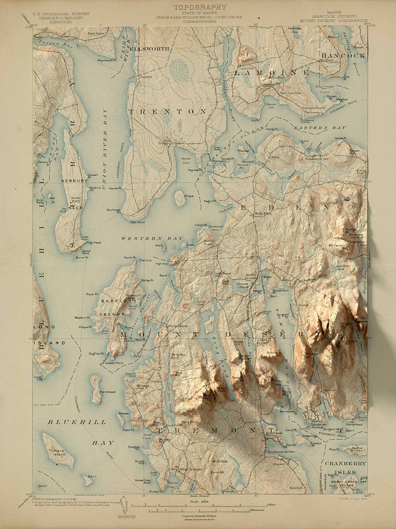
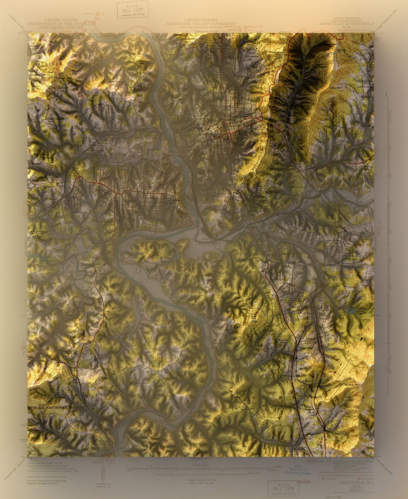
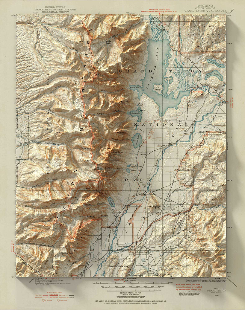
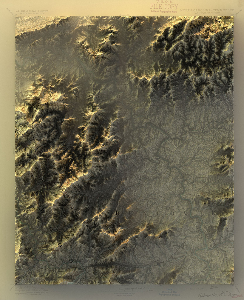
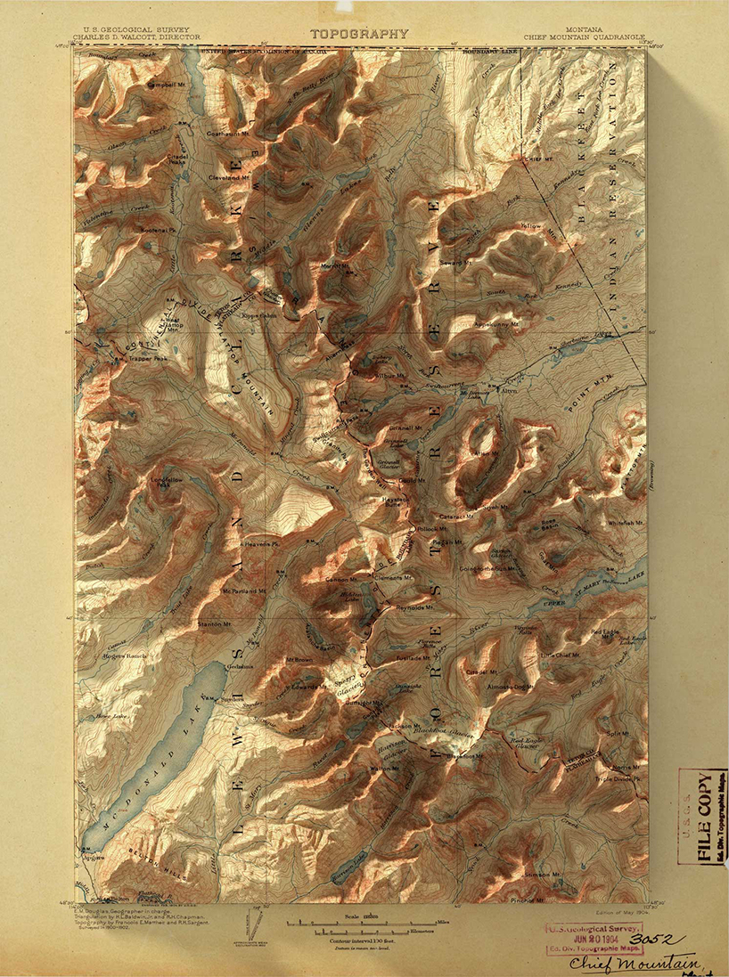
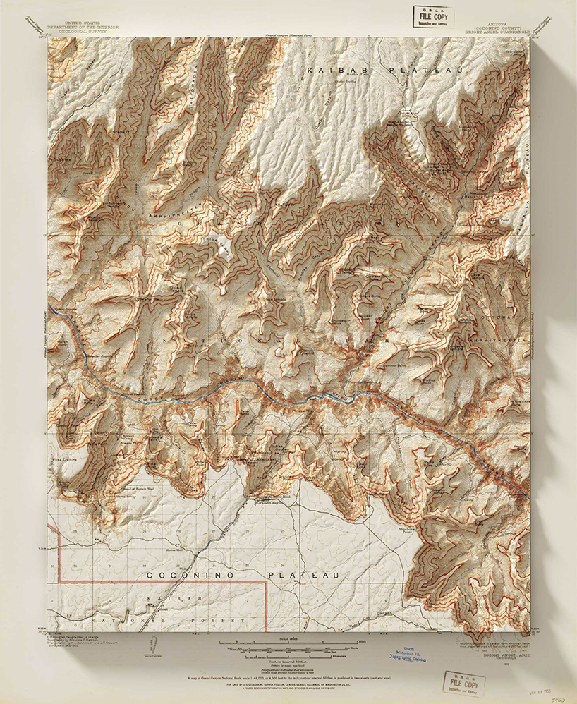
scott reinhard digitally renders 3-dimensional elevations onto vintage maps. on the 1916 USGS state mining bureau map below, digital shadows ripple the paper and trick our eyes into learning the landscape. the 1878 yellowstone national park map unfolds treacherous passes and rivers that exist in life, but could never have been emphasized enough until modern elevation data and digital editing techniques.
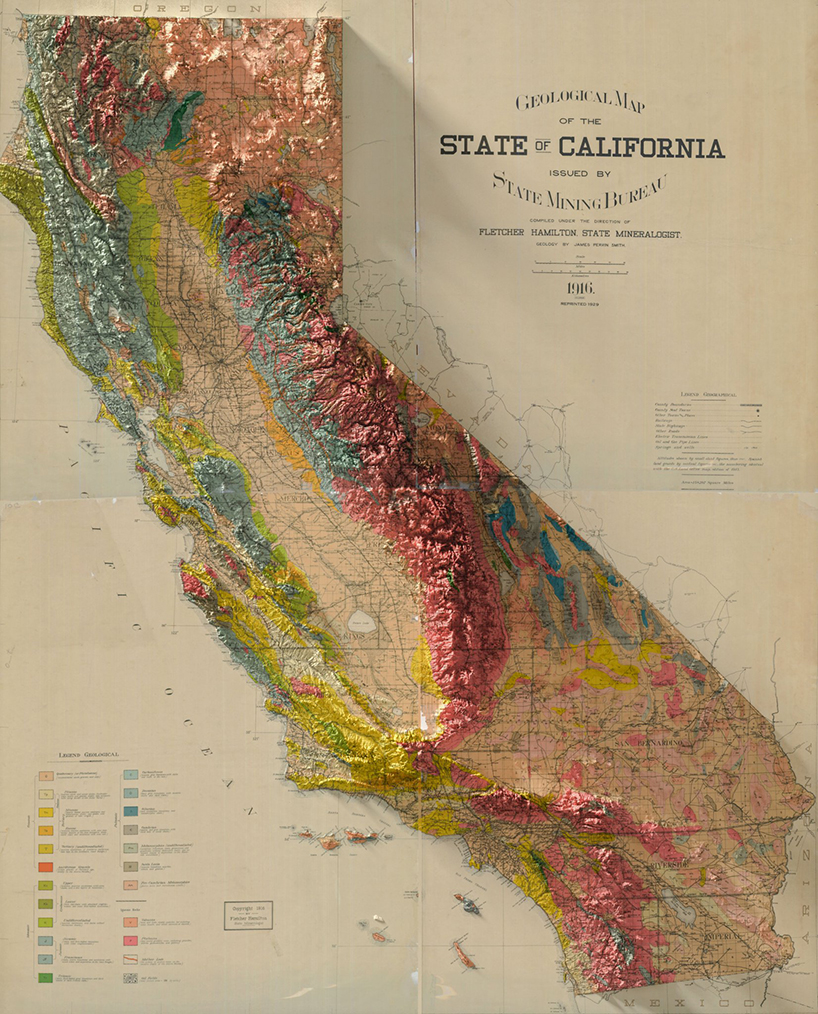
all images courtesy of scott reinhard
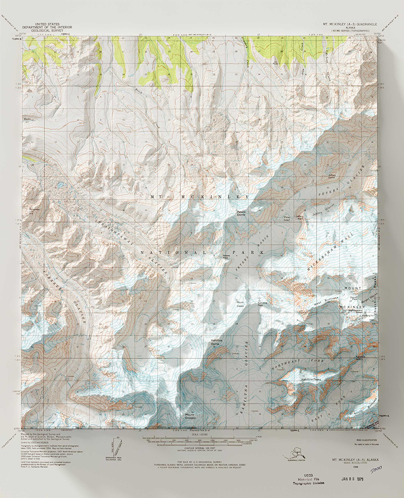
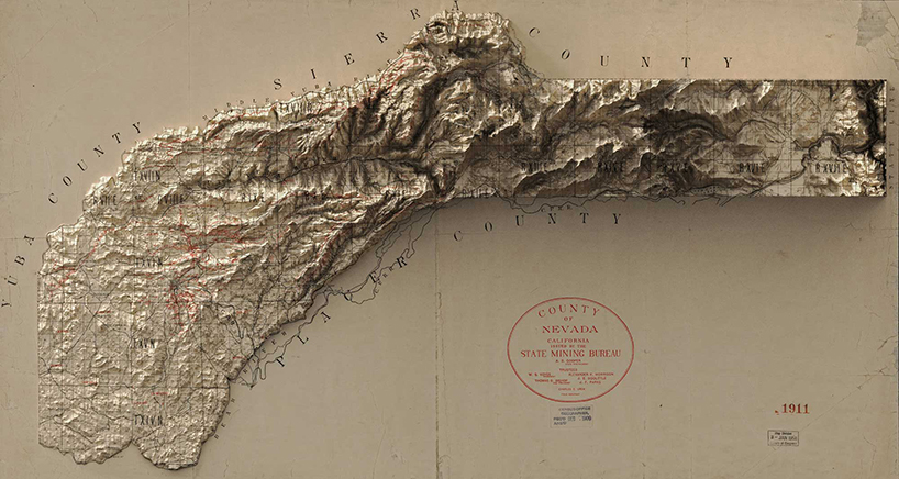
each geological survey map below started as a shadowless, handmade document. then, with elevation data in hand, reinhard goes to work. his maps are for sale on his website and he posts new projects pretty regularly on his instagram alongside the occasional puppy photo.
shop
your own online design shop — no sales commission collected