KEEP UP WITH OUR DAILY AND WEEKLY NEWSLETTERS
happening now! dive into a week-long celebration of GROHE SPA’s immersive ‘aquatecture’ installation at milan design week 2024 in designboom’s video interview.
PRODUCT LIBRARY
discover our guide to NYCxDESIGN 2024 to find the must-see talks, exhibitions, and installations during the city's week-long festival.
connections: 2
designboom steps inside the costume institute's latest exhibition, showcasing 250 garments and accessories spanning four centuries, visually united by iconography related to nature.
a powerful symbol of the house’s cultural heritage, the jockey silk with colorful geometric motifs is an inspiration for leather goods and textiles.
connections: +690
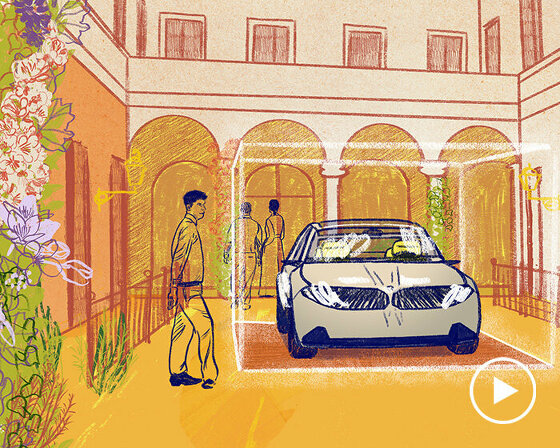
watch our livestream talk with BMW Design at 19:15 CEST on monday 15 april, featuring alice rawsthorn and holger hampf in conversation.
connections: +340

 L: rome, R: london
 L: shanghai, R: tokyo


