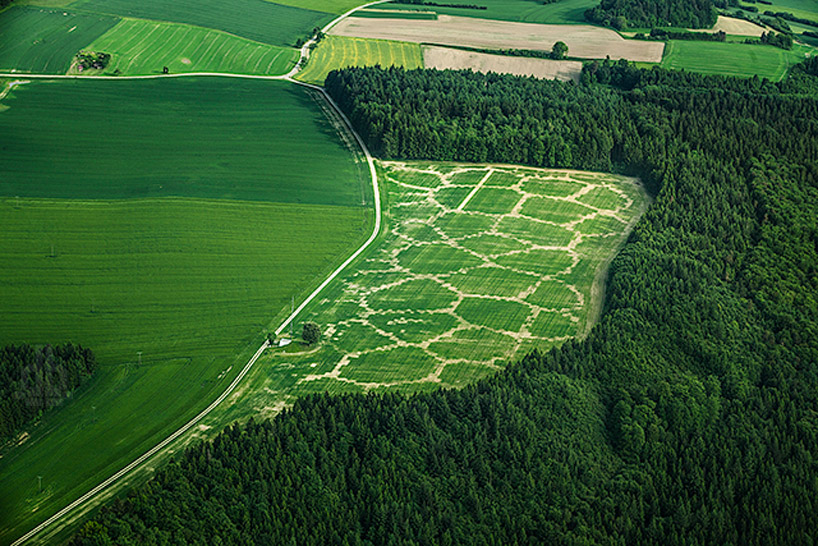
digitally farming with agricultural printing + altered landscapes
the agricultural printing experiment applies algorithms to create an environmentally beneficial model for standardizing biomass and energy production fields.
prefer designboom on google‘avena+ test bed’: agricultural printing + altered landscapes by benedikt groß
all images courtesy benedikt groß
with the arrival of precision farming in industrial production, agriculture has the ability to become strategically mapped, transforming traditional farming methods into a highly digital-reliant activity. in combination with other environmental and landscape changes in the countryside– mainly the paradigm shift from food to biogas production, the process will lead to disruptive changes within the next few years for the european countryside. as a response, london-based interaction designer benedikt groß has developed the ‘avena+ test bed’, a masters thesis at the RCA that explores the relationship between landscape, agriculture and digital fabrication.
avena+ test bed: agricultural printing + altered landscapes
video courtesy benedikt groß
the project uses the idea of ‘agricultural printing’ to investigate the possibilities of digital fabrication and its application into modern farming. the experiment applies algorithms to partition and to create an environmentally beneficial model for standardized biomass/energy production fields. these additional areas establish and improve the connectivity for fauna and flora between habitats, increasing diversity to ease typical problems of mono-cultures ( ex. less vermin results in reduced usage of pesticides.) in the near future a farmer might not just produce oats, peas, beans and barley, but also print ‘environment compensations areas’ into his fields without contaminating existing crops and thriving habitats. by the end of july 2013, the ‘avena+ test bed’ will be harvested to produce bio gas.
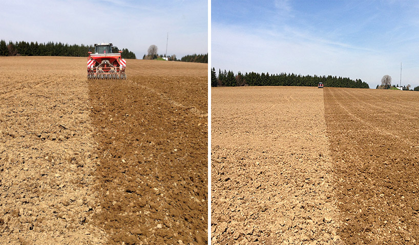
circumference of the plot of land is recorded on site using GPS coordinates
plants:
85% oats (avena sativa) 15% eleven different flowers and herbs
dimensions:
11.5 hectares (320 m x 920 m) in unterwaldhausen, south germany
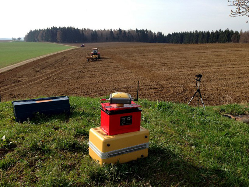
external GPS/GLONASS reference station for maximum accuracy
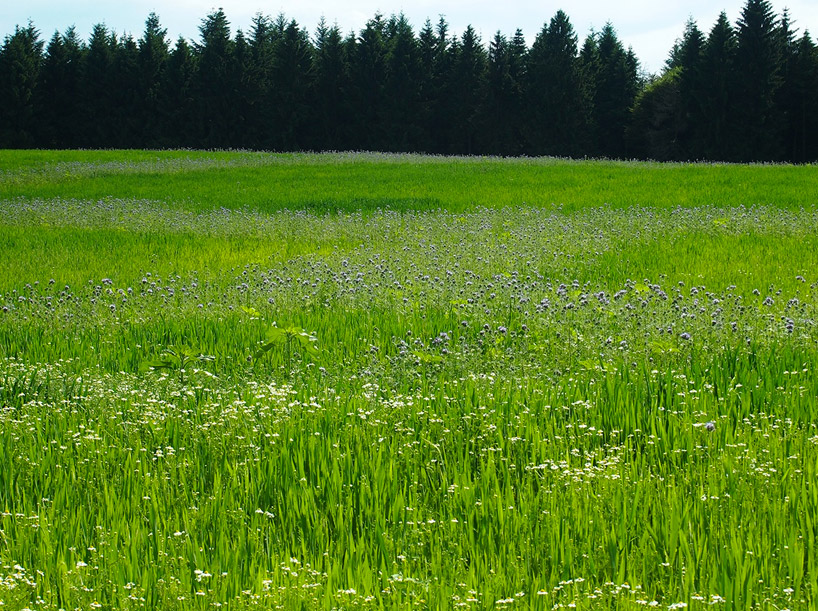
harvest results – image from july 2013
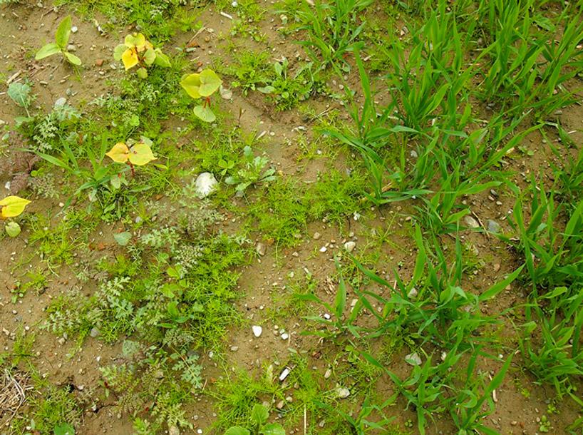
‘seam’ between oats and flowers (mid of may 2013)
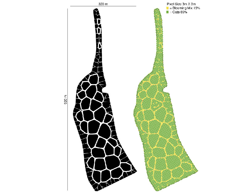
site mapping plan
project information:
supported by: maximilian erbgraf zu königsegg-aulendorf, maximilian count of königsegg-aulendorf
administrator: hubert geser
project engineer:lorenz riegger
advisor: roland groß
tractor driver: stefan riegger
farming contractor: lu peter boos
agricultural advisor: norbert menz, prof. dr. klaus schmieder, prof. dr. martin dieterich
aerial footage: florian vögtle
pilot: hermann benkler
agricultural machinery: agco, massey ferguson, horsch maschinen gmbh, agrom agrar- und kommunaltechnik gmbh
shop
your own online design shop — no sales commission collected