‘google rainforest view’ lets users explore parts of the amazon basin in google maps
equipped with an image-capturing bicycle, google has set off to brazil to offer users ‘google street view: amazon‘, the ability to explore the rivers, forests, and communities of the amazon basin’s rio negro reserve within google maps. the project is the result of a collaboration with the amazonas sustainable foundation (FAS) conservation society. to capture the 50,000 photographs that were stitched together to create ‘rainforest view’, the team brought the ‘google street view trike’ to the basin, equipped with a tripod camera with fisheye lens; and captured images while riding along the paths of forests and communities or mounted atop a riverboat.
this google blog post documents the project in further detail, as well as offering quick links to parts of the reserve to assist viewers in exploration. you can learn more about the ‘google street view trike’ in this google maps microsite that documents the ‘street view’ car, bike, trolley, and snowmobile. more screenshots from ‘rainforest view’ are below.
this video documents the project and process
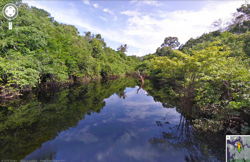
 view of the canopy in ‘google rainforest view’
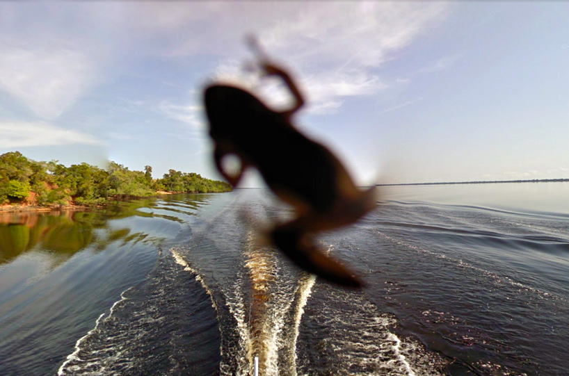 a local resident hops into view
 rio negro school in tumbira, the largest community in the rio negro reserve

via techcrunch
google street views (21)
 Jan 22, 2021
 Sep 02, 2020
 Jul 21, 2017
 Sep 03, 2016
 Oct 10, 2014
PRODUCT LIBRARY
 Jul 22, 2024
 Apr 22, 2024
 Mar 21, 2024
 Mar 13, 2024